The DOT is split into 28 shorter segments, each good for day hikes. Whether you walk one segment or all 28, you'll find everything that you should need on this page for a successful DOT adventure!
|
This map shows the full route and all 28 segments. Read on to get inspired and ready for your adventure.
We've used AllTrails for mapping the routes. That's what we recommend for following when you're out walking. It's free to use. You can find the link to each segment below, or check out every segment here. If you've paid for the premium version of AllTrails, you can download the maps and use them even if you don't have cell service. You can download all segment gpx files here, which then be uploaded to another navigational app, such as Strava or Ride with GPS. If you're 'old school', check out printable pdf maps here! Finally, if you'd like to track your progress, we've made a printable sheet for doing so! |
On this map, click the square corners button in the upper right-hand corner to open full screen mode. To turn on a layer of restrooms, use the menu button in the upper left-hand corner and scroll down to 'RESTROOMS'.
|
Page navigation: Jump to...
SEGMENTS 1 THROUGH 8, DOWNTOWN GOLDEN TO DOUGLAS COUNTY OPEN SPACE
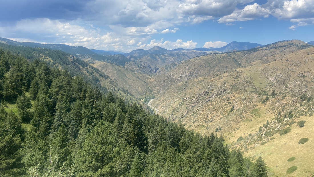
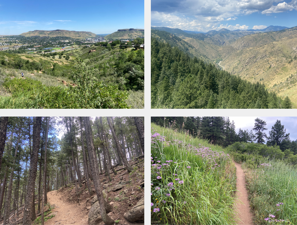
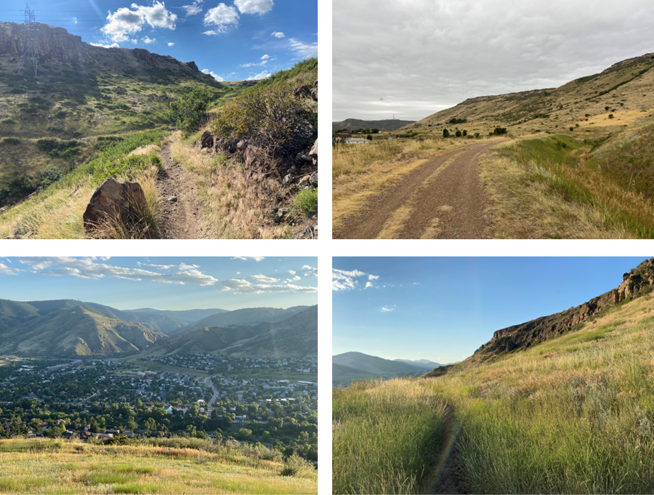
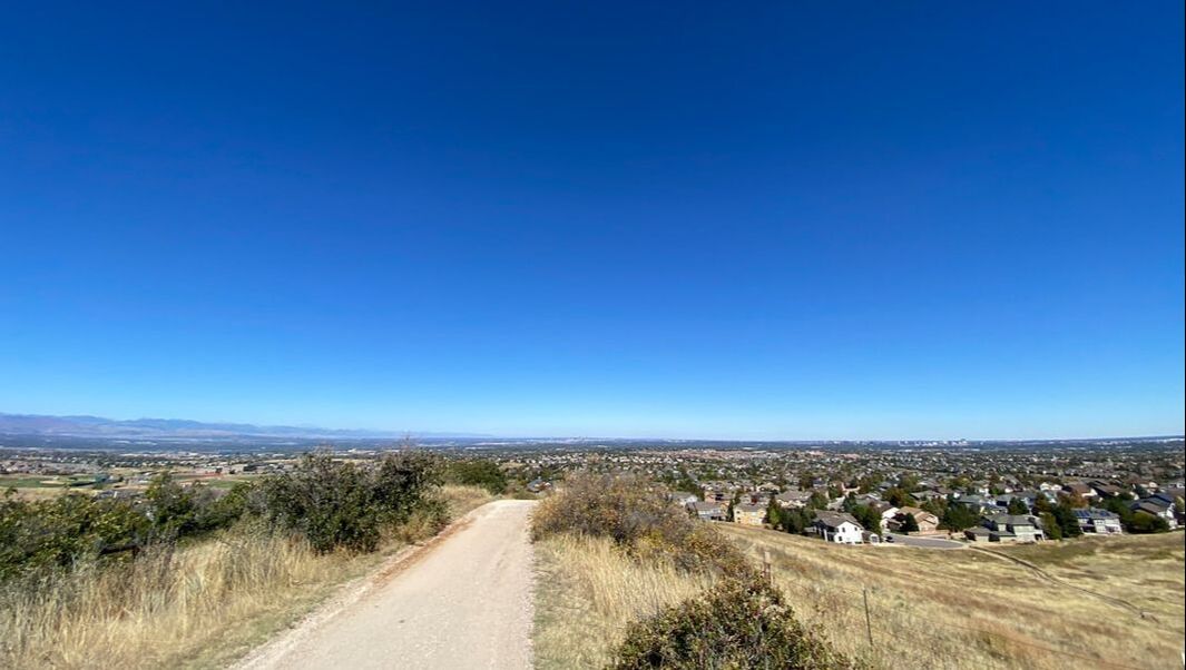
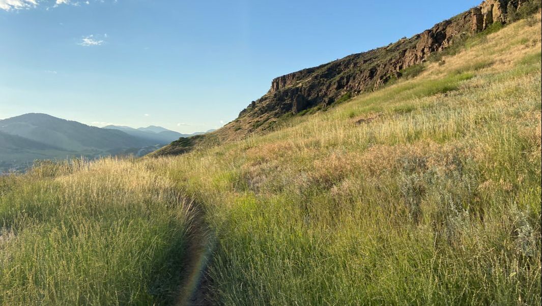
Segment 1: Downtown Golden, Lookout Mountain, and Apex Park
|
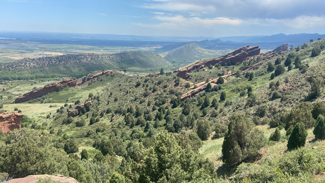
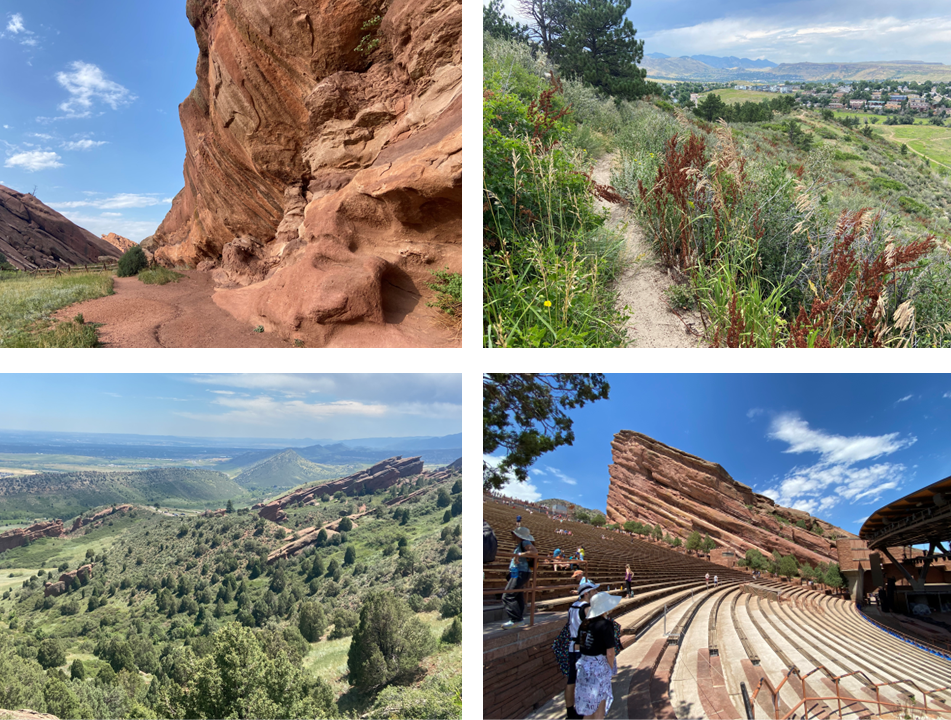
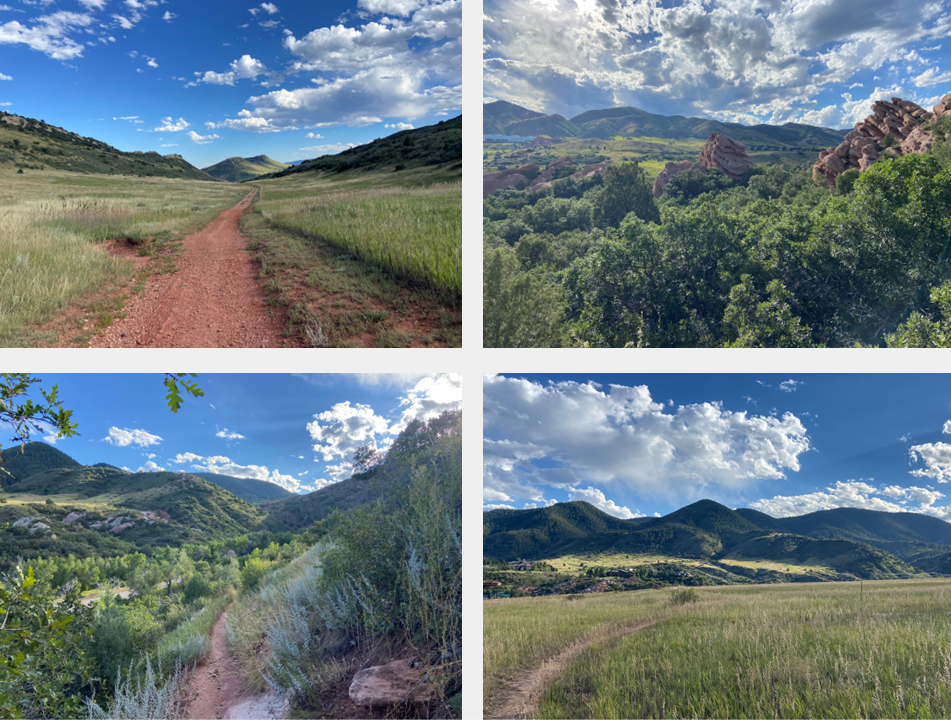
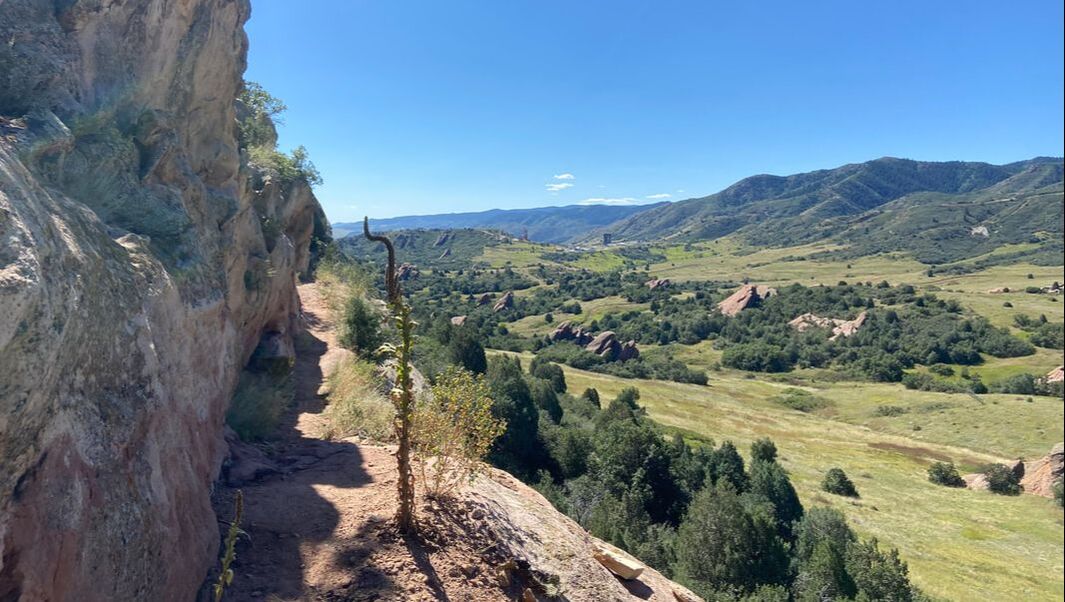
Segment 2: Red Rocks Park
|
Segment 3: Downtown Morrison and Bear Creek Lake Park
|
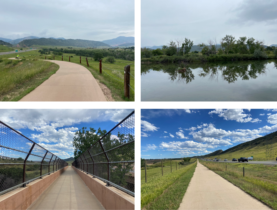
Segment 4: Bear Creek Lake Park and C-470 trail
|
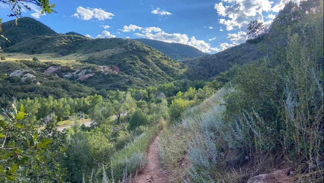
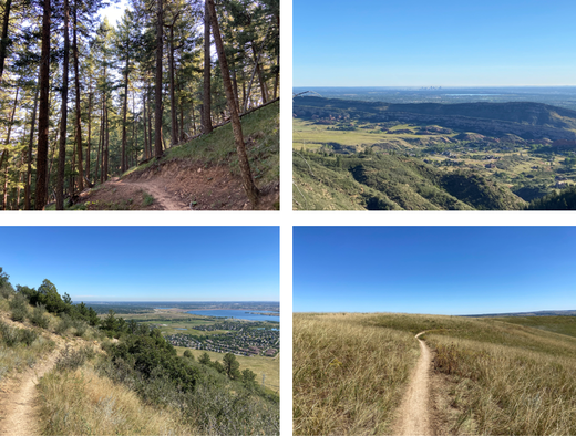
Segment 5: South Hogback Open Space, South Valley Park, and Deer Creek Canyon Park
|
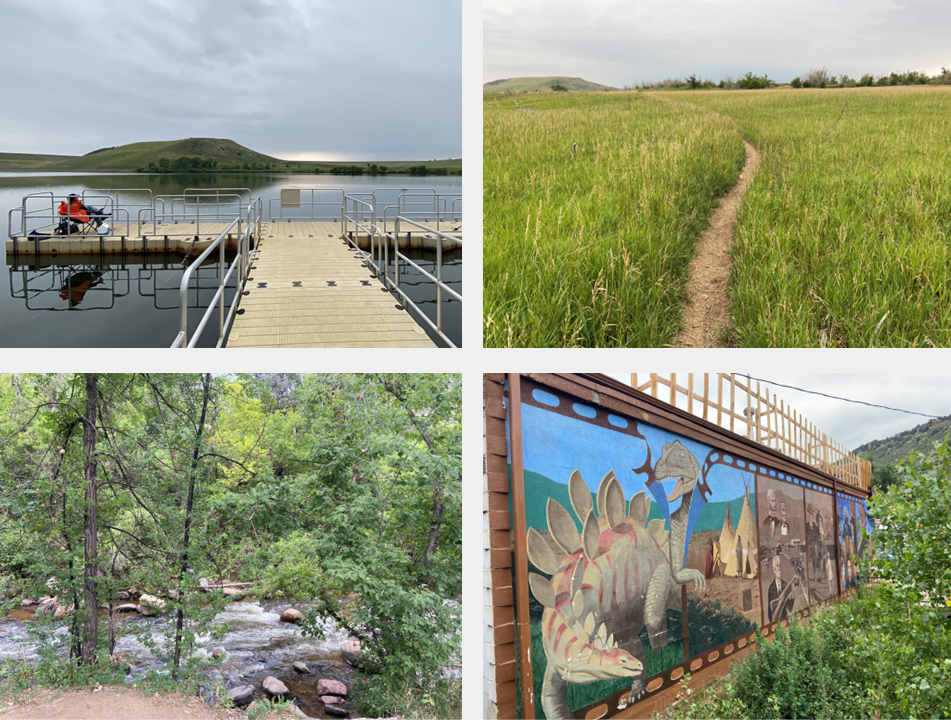
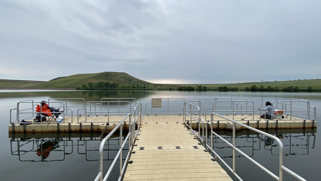
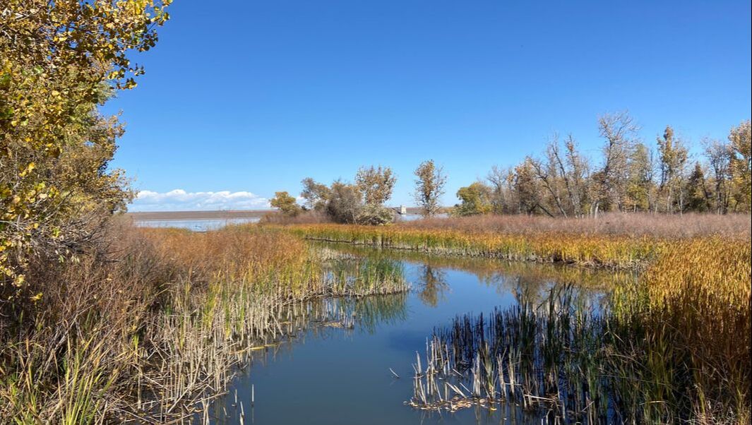
Segment 6: Plymouth Mountain, Hildebrand Ranch Park, and Chatfield State Park
|
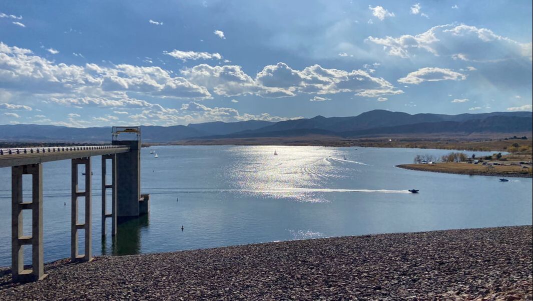
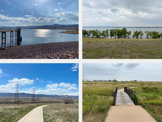
Segment 7: Chatfield State Park
|
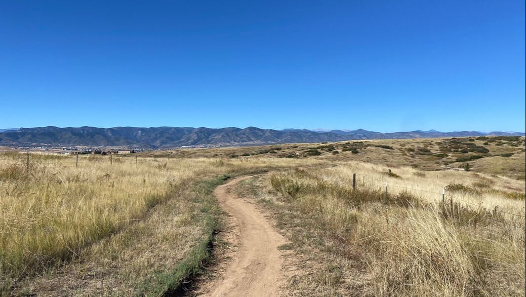
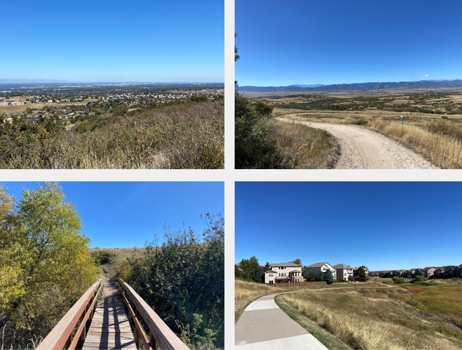
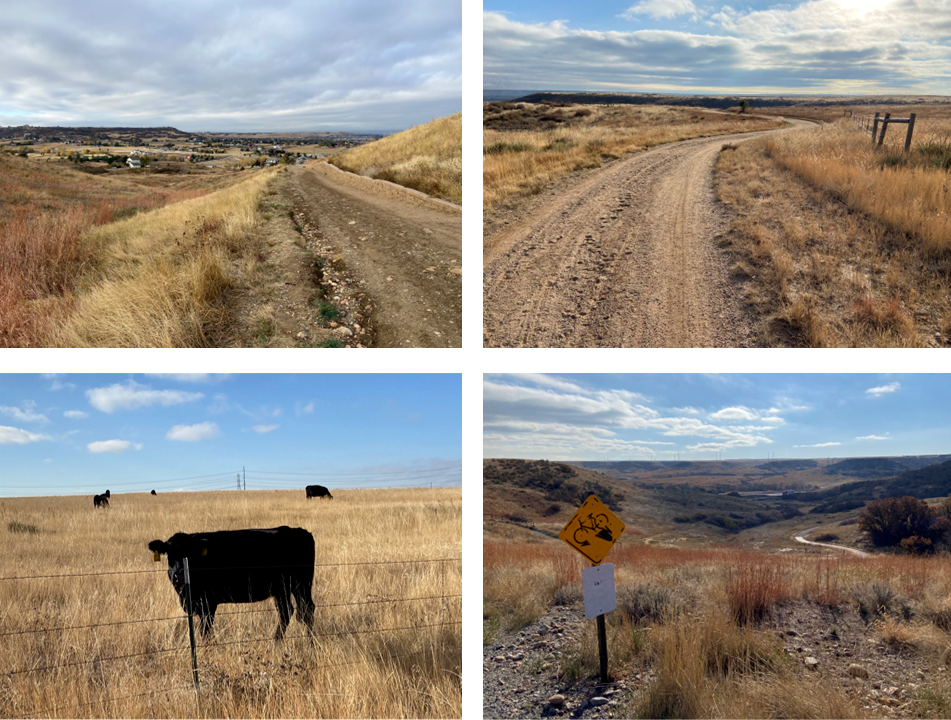
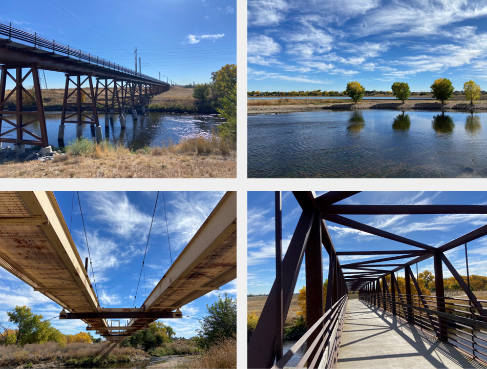
Segment 8: Douglas County Open Space
|
SEGMENTS 9 THROUGH 16, HIGHLANDS POINT TO SAND CREEK TRAIL
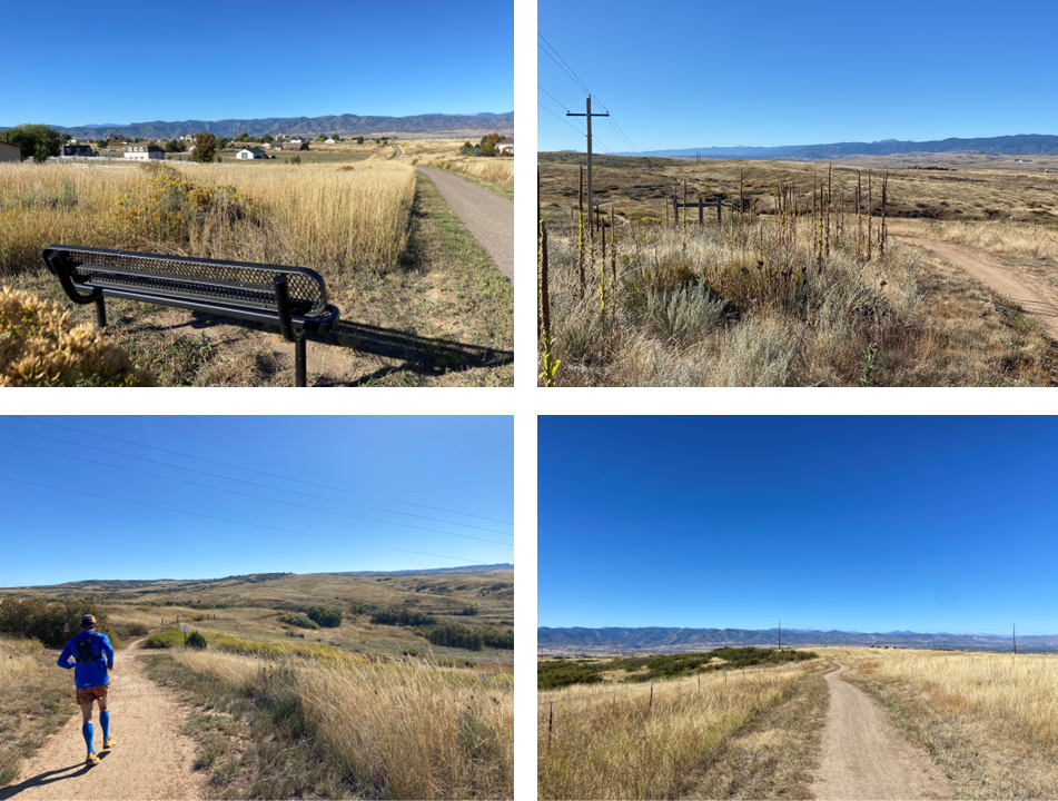
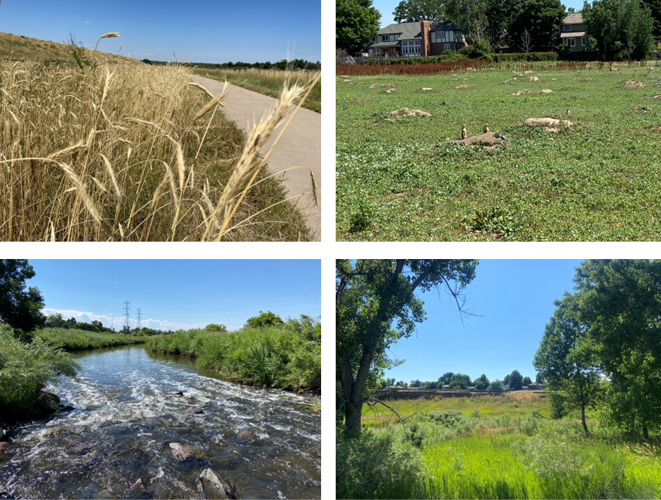
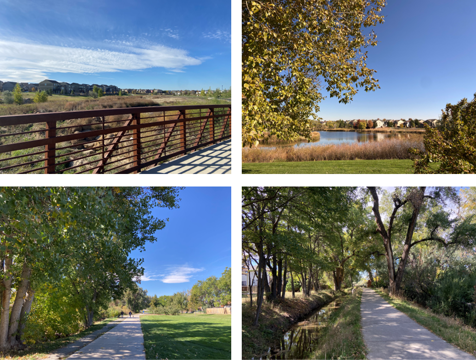
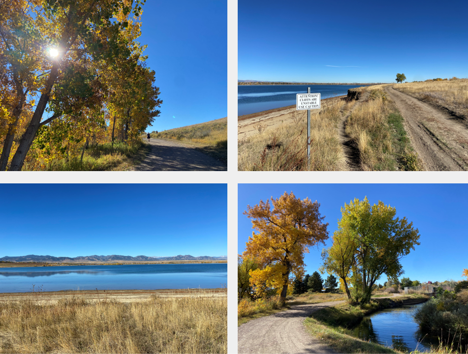
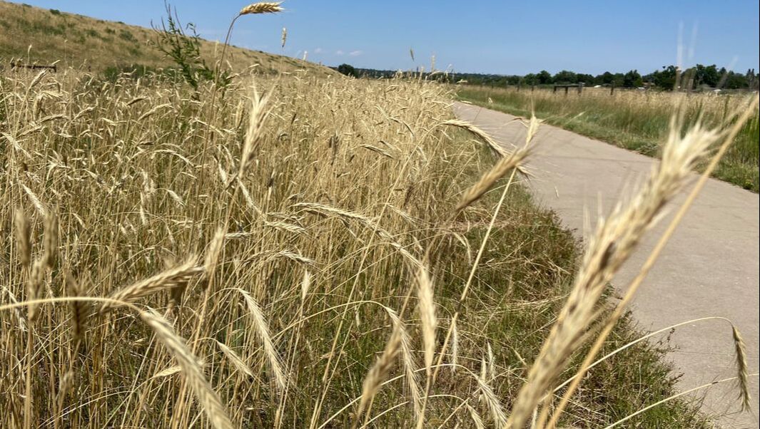
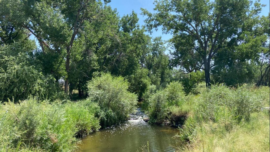
Segment 9: Highlands Point and Big Dry Creek Trail
|
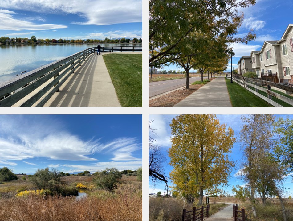
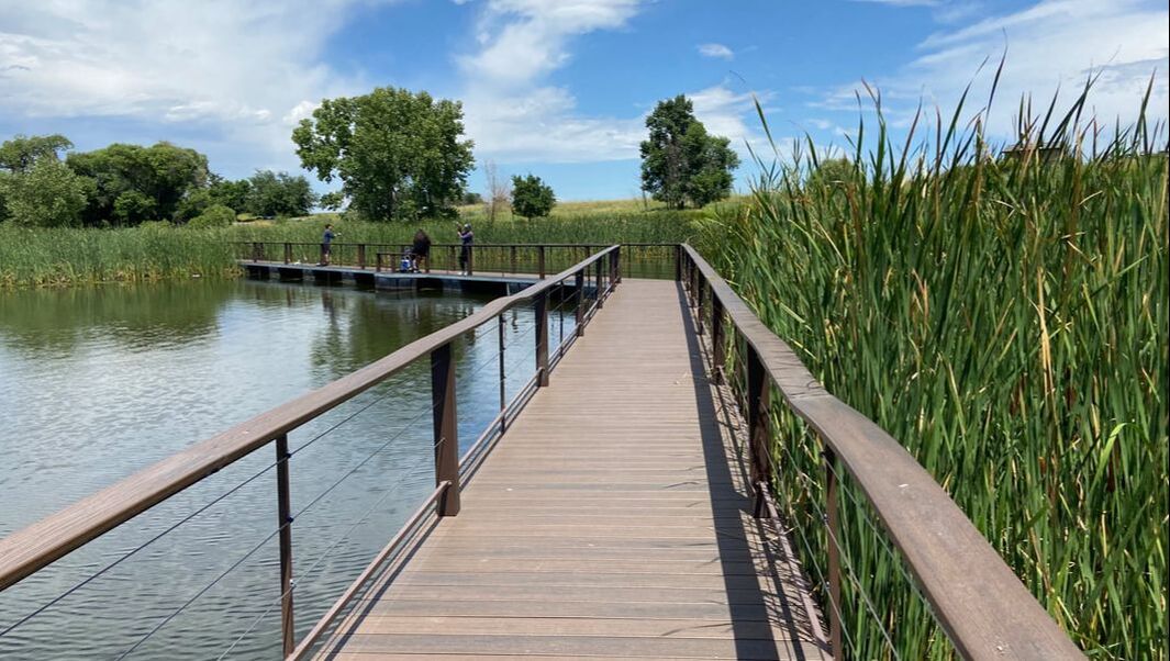
Segment 10: Bluffs Regional Park
|
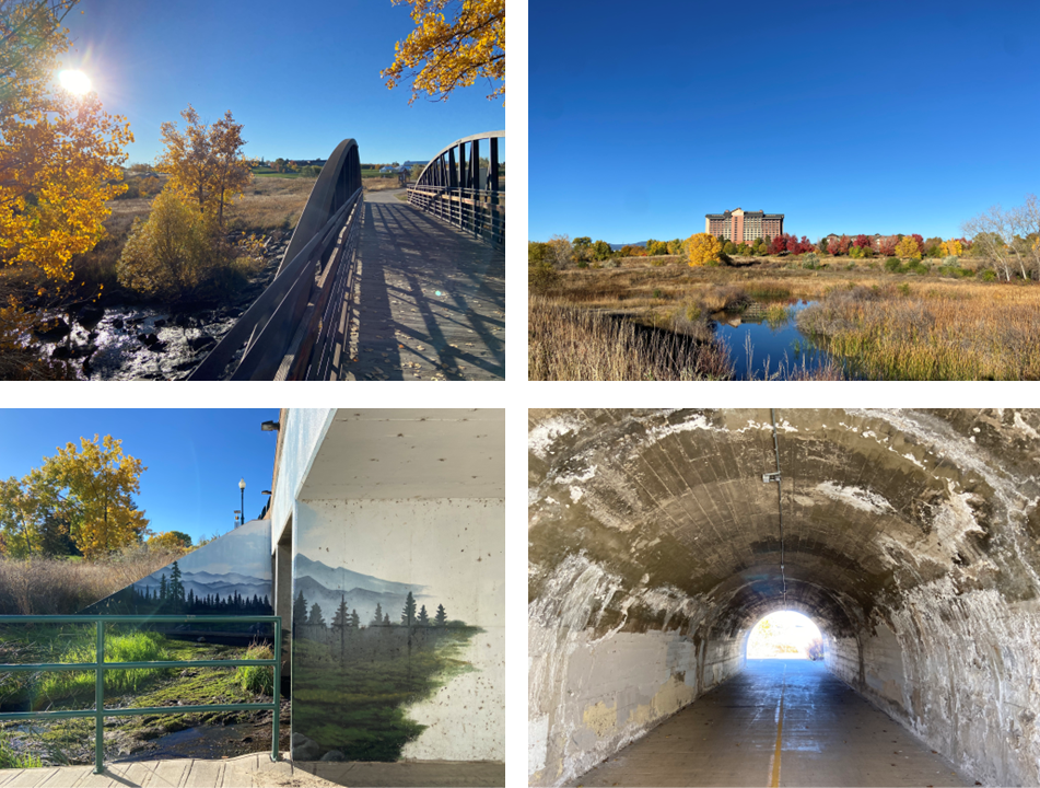
Segment 11: East/West Regional Trail to Cherry Creek Trail
|
Segment 12: South Cherry Creek Trail
|
Segment 13: Cherry Creek Trail to Cherry Creek State Park
|
Segment 14: Cherry Creek Spillway, Horseshoe Park, and Toll Gate Creek Regional Trail
|
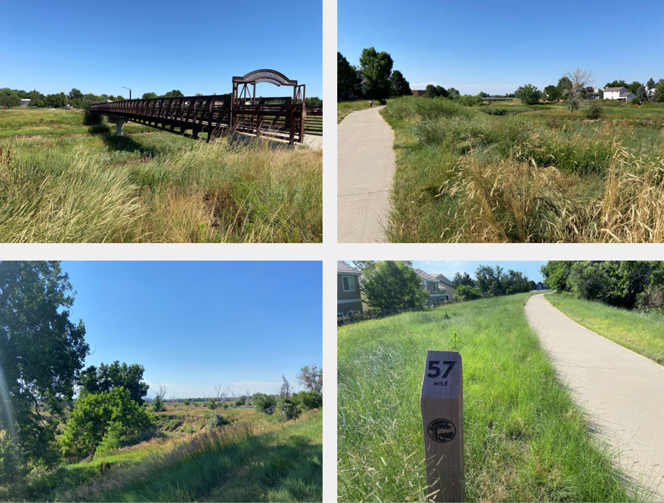
Segment 15: Toll Gate Creek Regional Trail to High Line Canal
|
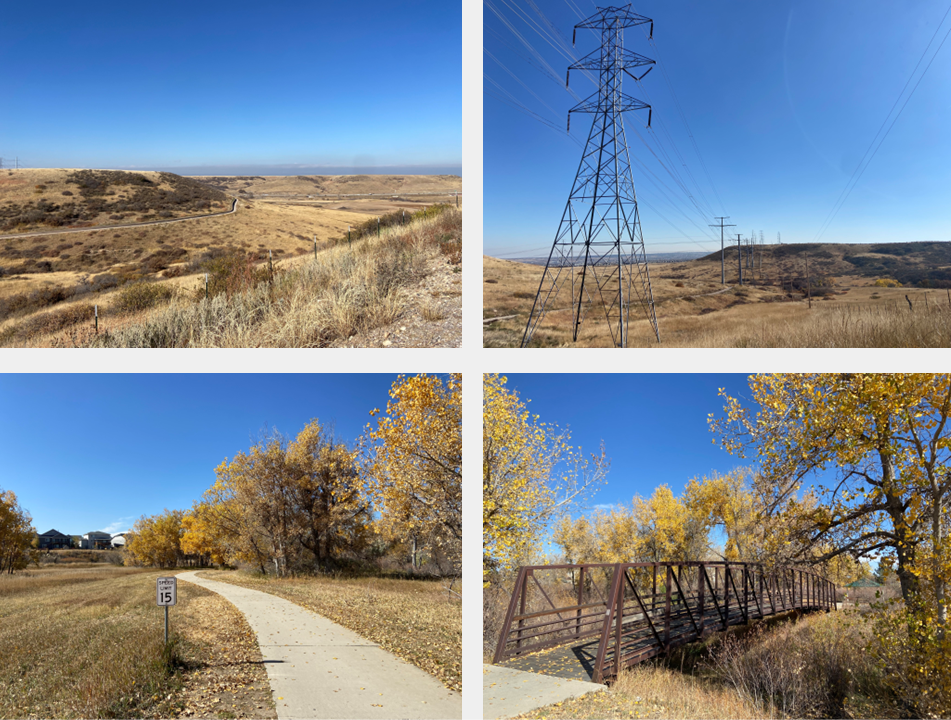
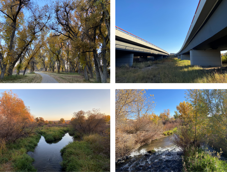
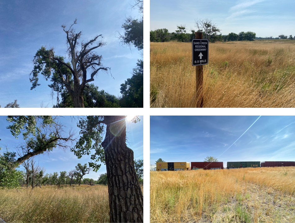
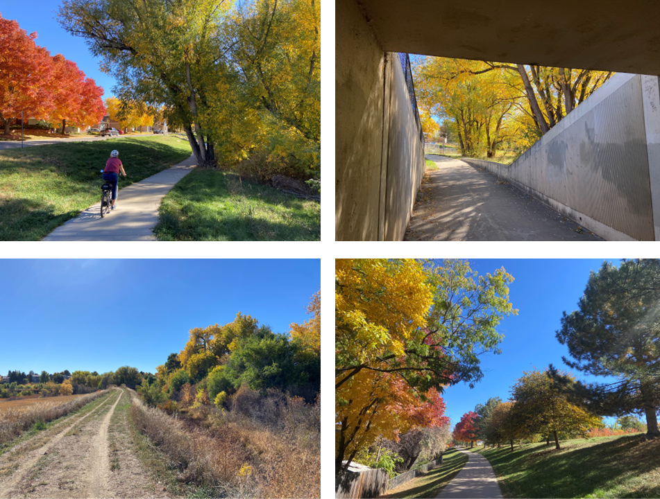
Segment 16: High Line Canal, Morrison Nature Center, and Sand Creek Trail
|
SEGMENTS 17 THROUGH 24, HIGH LINE CANAL TO BIG DRY CREEK
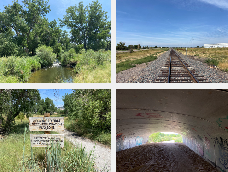
Segment 17: High Line Canal to First Creek Trail
|
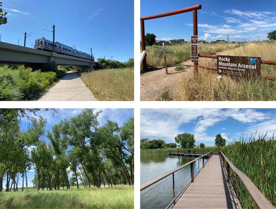
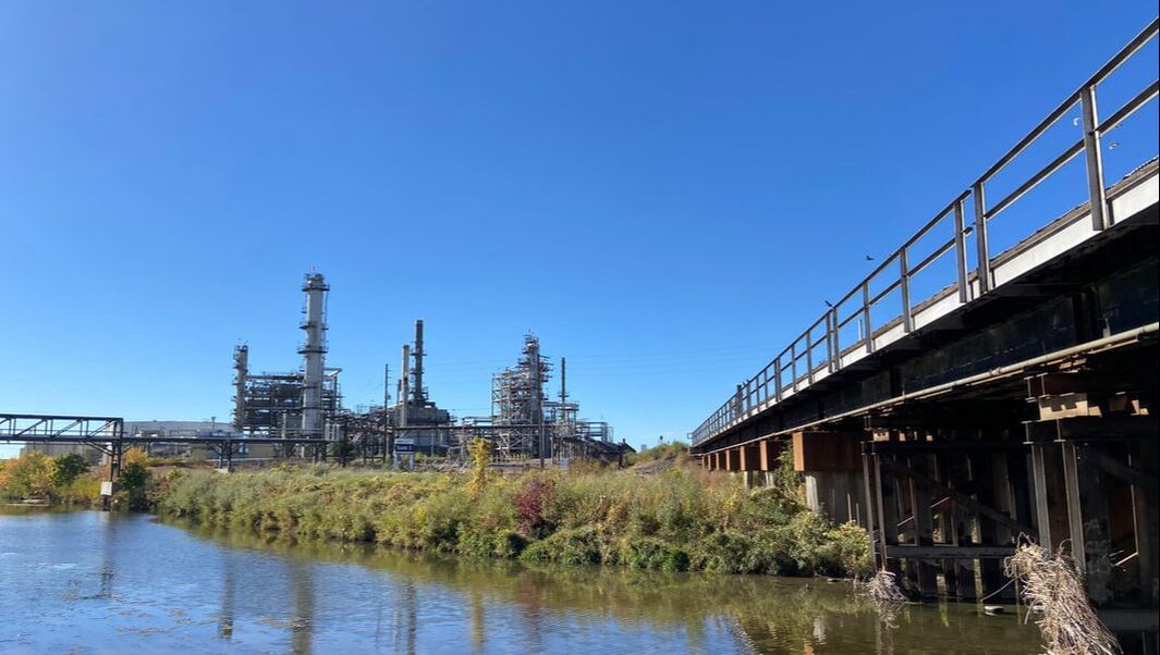
Segment 18: Rocky Mountain Arsenal National Wildlife Refuge
|
Segment 19: Northfield Greenways and Neighborhood Parks
|
Segment 20: Sand Creek to Platte River
|
Segment 21: Platte River Trail to Riverdale Regional Park
|
Segment 22: Horizon Tributary Trail to Lee Lateral Ditch and Signal Ditch Trails
|
Segment 23: Signal Ditch Trail, Hunters Glen Lake, Big Dry Creek Trail
|
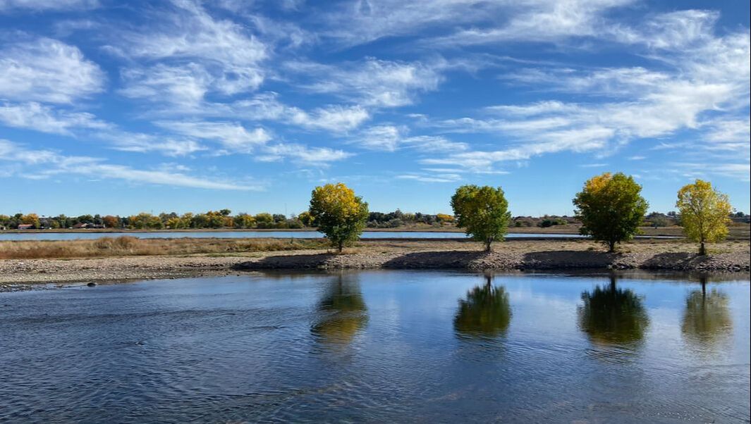
Segment 24: Big Dry Creek Trail: Front Range Community College to Wadsworth Parkway
|
SEGMENTS 25 THROUGH 28, STANDLEY LAKE TO DOWNTOWN GOLDEN
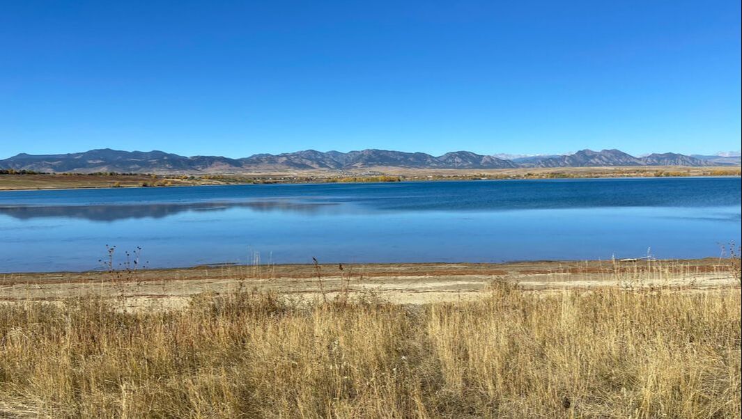
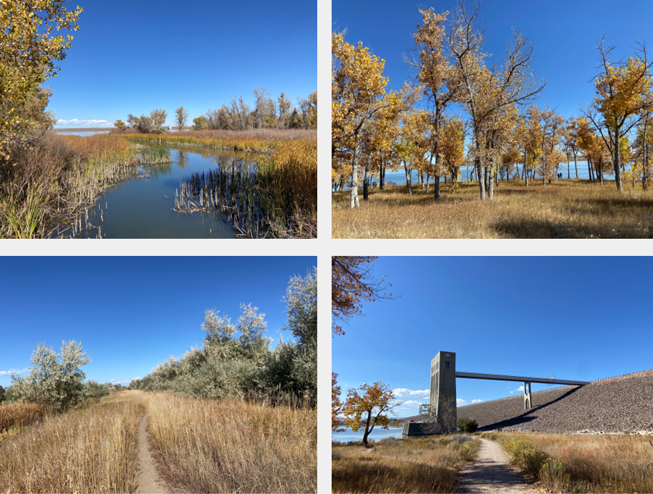
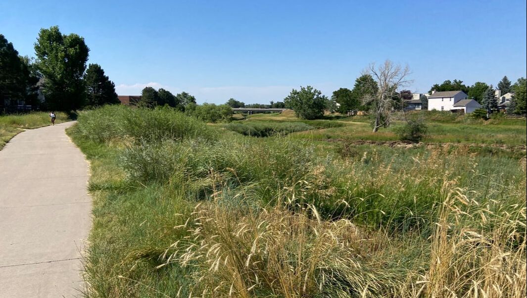
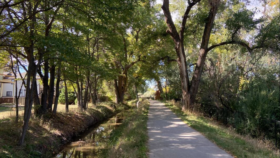
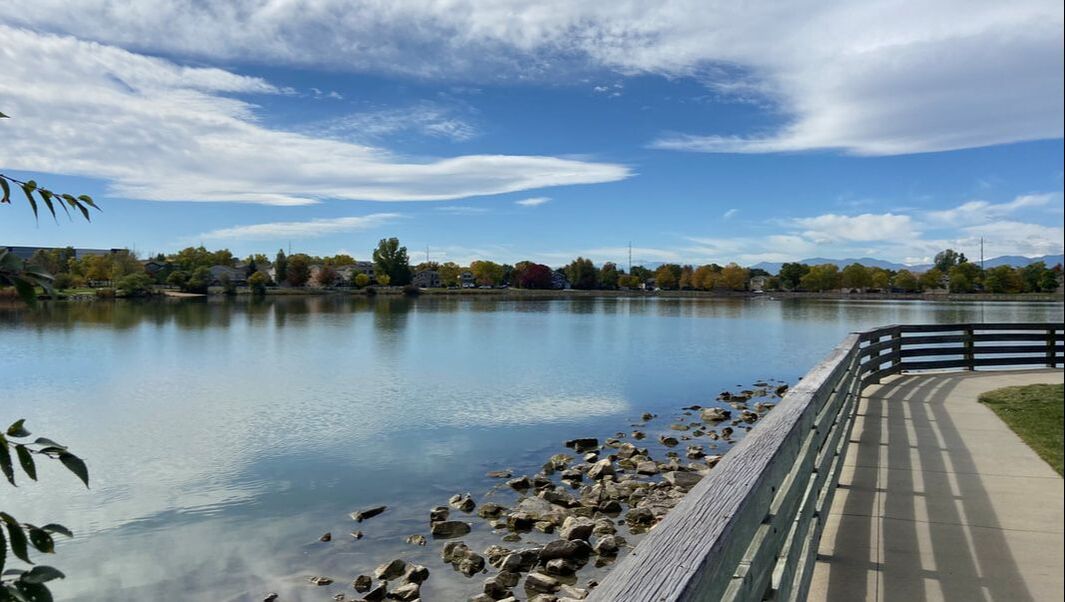
Segment 25: Big Dry Creek to Standley Lake
|
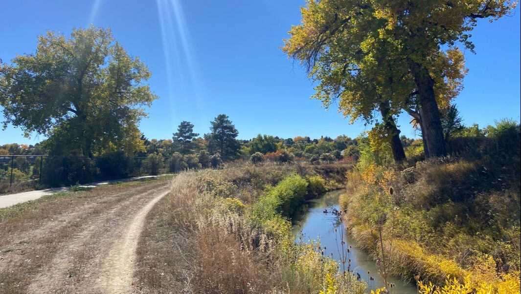
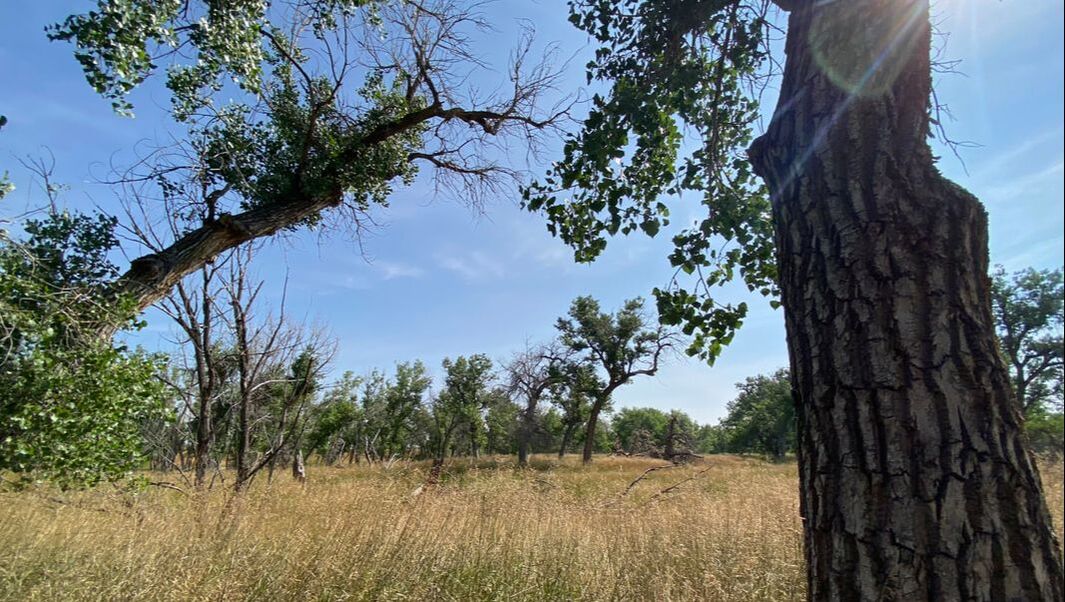
Segment 26: Farmers & Croke Canals Trail through Two Ponds National Wildlife Refuge
|
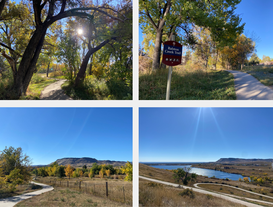
Segment 27: Majestic View Park, Ralston Creek Trail, and Blunn Reservoir
|
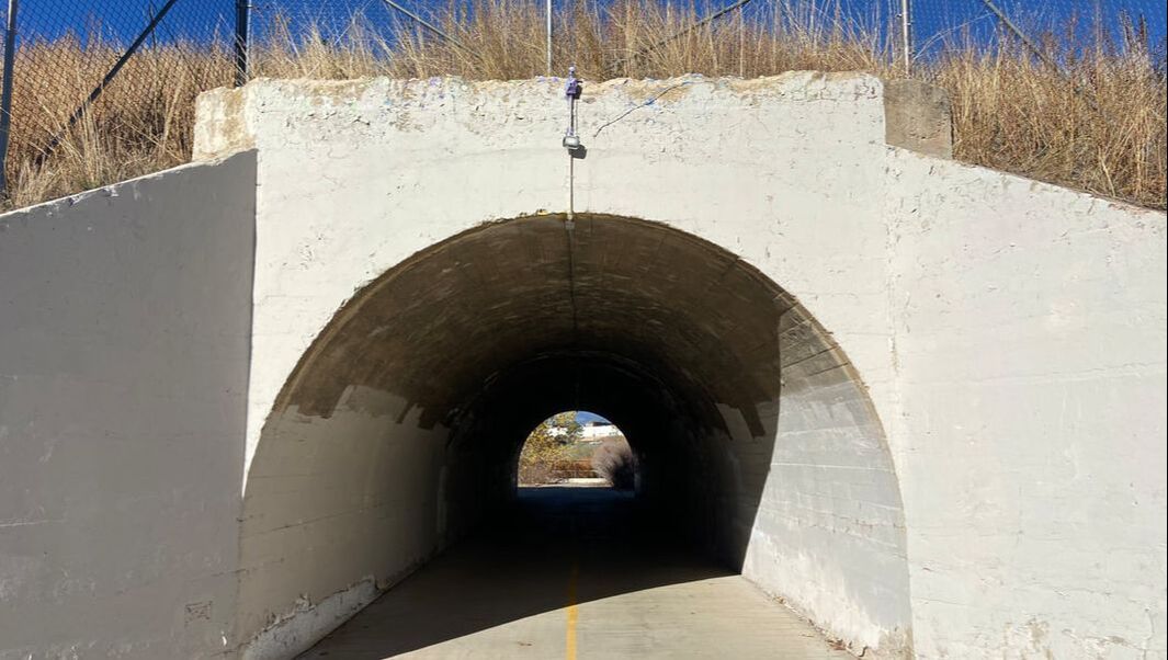
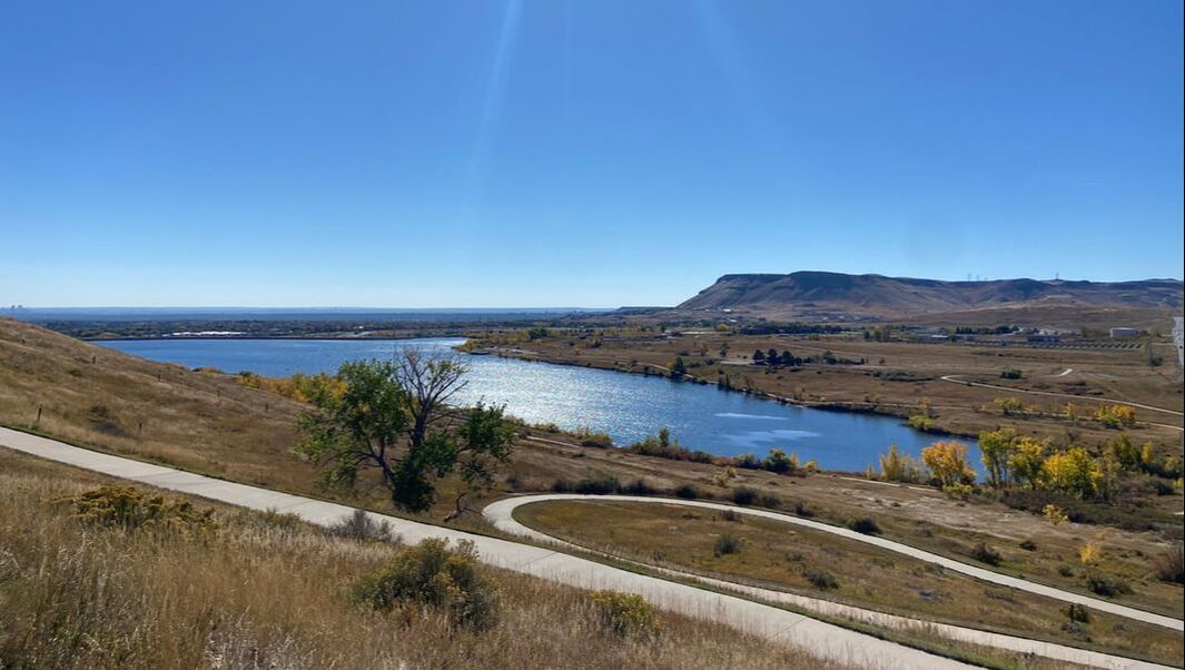
Segment 28: Fairmont Canal Trail to North Table Mountain, Tucker Gulch to Downtown Golden
|